
OhioWell Data
Every dot on this map is a real well. We pulled all 872,000 Ohio well-construction records - depth, water level, yield, and county - and drew the state with them. Brighter means more wells; color is how deep they go.

89 ft
Median recorded depth
32 ft
Median water level
15 gpm
Median yield
72/88
Counties covered
Check the water table at your Ohio address
See typical well depth and static water level near any Ohio address, drawn from these same records - free.
What 872,000 Ohio wells tell us
872,000
Ohio well records on file
89 ft
Median recorded depth, all boreholes (half between 61 and 131 ft)
32 ft
Median static water level (water table)
15 gpm
Median tested well yield
99%
Have a recorded depth (867,476 wells)
31,215
Distinct drilling companies on record
The median depth across all Ohio borehole records is 89 ft, with half falling between 61 and 131 ft. These cover every borehole filed with the state - water wells alongside monitoring wells, soil borings and decommissioning reports - so this is a broader population than water wells alone. Numbers here come straight from filed construction reports - not a model.
How deep Ohio wells go
Each bar is the share of records finished at that depth (20-ft bins). Half of all Ohio records fall between 61 and 131 ft.
Well depth & water by Ohio county
72 of Ohio's 88 counties - those whose well records carry confidently geolocated coordinates, ranked by number of records on file. Median depth, median static water level, and median tested yield for each - real figures, computed from every filed report we hold.
| County | Wells | Median depth | Water level | Yield |
|---|---|---|---|---|
| Stark | 52,570 | 104 ft | 39 ft | 16 gpm |
| Summit | 48,815 | 80 ft | 31 ft | 15 gpm |
| Franklin | 32,681 | 79 ft | 32 ft | 15 gpm |
| Geauga | 28,171 | 102 ft | 39 ft | 17 gpm |
| Licking | 25,743 | 127 ft | 50 ft | 15 gpm |
| Portage | 25,110 | 92 ft | 32 ft | 17 gpm |
| Fairfield | 22,264 | 99 ft | 38 ft | 15 gpm |
| Wayne | 21,768 | 108 ft | 45 ft | 18 gpm |
| Trumbull | 19,079 | 89 ft | 25 ft | 18 gpm |
| Richland | 18,813 | 127 ft | 59 ft | 14 gpm |
| Medina | 18,764 | 88 ft | 34 ft | 17 gpm |
| Columbiana | 17,609 | 124 ft | 50 ft | 17 gpm |
| Montgomery | 17,584 | 71 ft | 23 ft | 14 gpm |
| Clark | 16,508 | 81 ft | 31 ft | 17 gpm |
| Greene | 15,996 | 89 ft | 32 ft | 14 gpm |
| Tuscarawas | 14,997 | 122 ft | 46 ft | 14 gpm |
| Mahoning | 14,454 | 112 ft | 30 ft | 17 gpm |
| Cuyahoga | 14,058 | 55 ft | 23 ft | 10 gpm |
| Muskingum | 13,990 | 95 ft | 39 ft | 9 gpm |
| Miami | 13,372 | 84 ft | 22 ft | 19 gpm |
| Ashtabula | 12,108 | 58 ft | 12 ft | 7 gpm |
| Knox | 11,318 | 138 ft | 58 ft | 18 gpm |
| Lucas | 11,168 | 75 ft | 33 ft | 13 gpm |
| Logan | 11,050 | 104 ft | 23 ft | 19 gpm |
| Darke | 10,765 | 100 ft | 23 ft | 24 gpm |
| Butler | 10,147 | 60 ft | 24 ft | 12 gpm |
| Holmes | 9,989 | 143 ft | 75 ft | 19 gpm |
| Allen | 9,725 | 70 ft | 27 ft | 15 gpm |
| Seneca | 9,637 | 88 ft | 27 ft | 17 gpm |
| Union | 9,575 | 98 ft | 26 ft | 18 gpm |
| Pickaway | 9,475 | 83 ft | 34 ft | 15 gpm |
| Delaware | 9,130 | 71 ft | 22 ft | 15 gpm |
| Carroll | 9,116 | 128 ft | 56 ft | 14 gpm |
| Sandusky | 9,080 | 92 ft | 24 ft | 19 gpm |
| Ashland | 8,829 | 105 ft | 39 ft | 15 gpm |
| Marion | 8,561 | 73 ft | 22 ft | 17 gpm |
| Champaign | 8,253 | 91 ft | 41 ft | 18 gpm |
| Shelby | 8,082 | 106 ft | 36 ft | 22 gpm |
| Ottawa | 8,052 | 71 ft | 18 ft | 18 gpm |
| Lorain | 7,908 | 57 ft | 16 ft | 12 gpm |
| Warren | 7,838 | 62 ft | 20 ft | 12 gpm |
| Coshocton | 7,760 | 92 ft | 43 ft | 14 gpm |
| Mercer | 7,480 | 142 ft | 29 ft | 23 gpm |
| Morrow | 7,455 | 82 ft | 33 ft | 14 gpm |
| Williams | 7,436 | 97 ft | 29 ft | 39 gpm |
| Lake | 7,088 | 74 ft | 17 ft | 9 gpm |
| Ross | 6,991 | 72 ft | 29 ft | 12 gpm |
| Putnam | 6,906 | 73 ft | 26 ft | 10 gpm |
| Hancock | 6,904 | 66 ft | 20 ft | 17 gpm |
| Preble | 6,895 | 76 ft | 23 ft | 14 gpm |
| Crawford | 6,679 | 60 ft | 20 ft | 13 gpm |
| Hamilton | 6,284 | 40 ft | 27 ft | 18 gpm |
| Madison | 6,125 | 104 ft | 31 ft | 19 gpm |
| Jefferson | 5,941 | 102 ft | 52 ft | 6 gpm |
| Guernsey | 5,910 | 98 ft | 37 ft | 5 gpm |
| Auglaize | 5,710 | 107 ft | 30 ft | 21 gpm |
| Fulton | 5,669 | 103 ft | 29 ft | 9 gpm |
| Huron | 5,611 | 64 ft | 19 ft | 12 gpm |
| Perry | 5,252 | 115 ft | 42 ft | 12 gpm |
| Wyandot | 4,623 | 86 ft | 29 ft | 15 gpm |
| Belmont | 4,511 | 85 ft | 40 ft | 5 gpm |
| Paulding | 4,500 | 60 ft | 21 ft | 10 gpm |
| Washington | 4,218 | 82 ft | 33 ft | 5 gpm |
| Clinton | 3,877 | 90 ft | 23 ft | 13 gpm |
| Highland | 3,640 | 100 ft | 22 ft | 9 gpm |
| Henry | 3,561 | 79 ft | 31 ft | 10 gpm |
| Vinton | 3,117 | 221 ft | 84 ft | 8 gpm |
| Monroe | 2,515 | 91 ft | 36 ft | 4 gpm |
| Adams | 2,322 | 73 ft | 24 ft | 4 gpm |
| Lawrence | 1,800 | 81 ft | 39 ft | 6 gpm |
| Clermont | 1,630 | 69 ft | 24 ft | 7 gpm |
| Noble | 1,171 | 87 ft | 32 ft | 4 gpm |
Explore every well
The static map above is the whole state at a glance. Open the interactive DrillerDB well map to zoom to any Ohio address, click individual wells, and read their depth, water level, and construction details.
Open the well map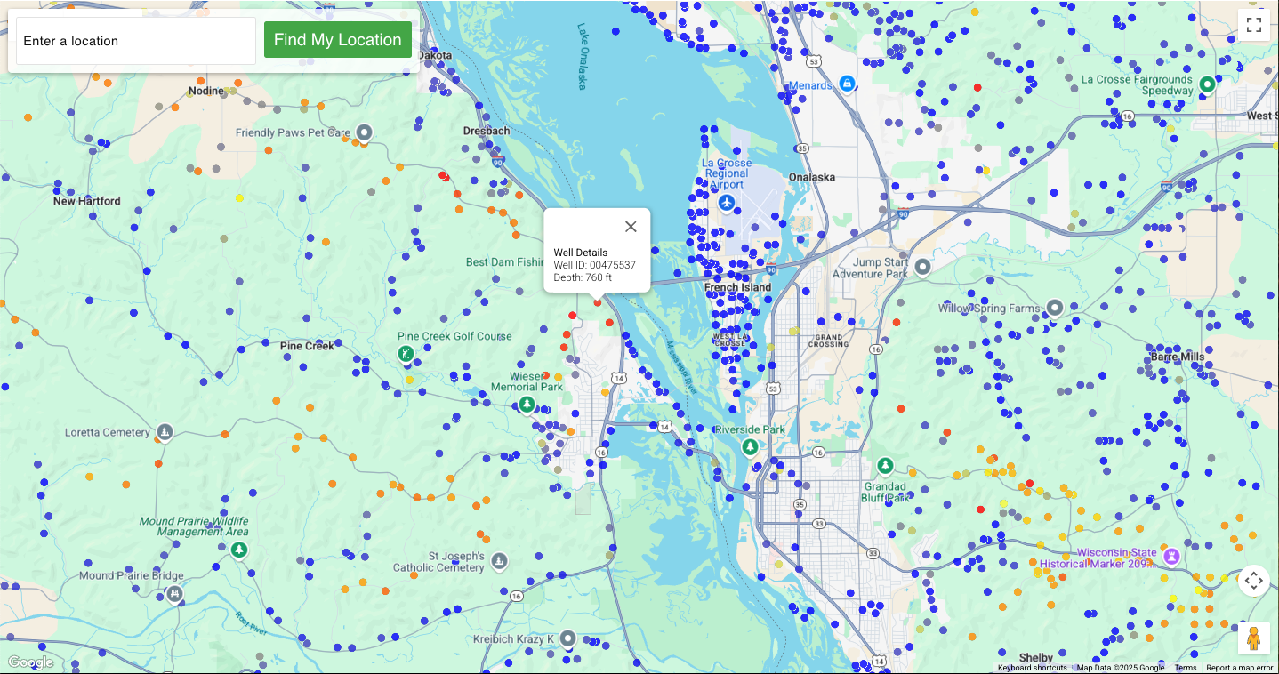
A century of Ohio wells
DrillerDB's Ohio records reach back to the 1930s. Wells drilled per decade:
Ohio well questions
How deep are wells in Ohio?
The median depth across Ohio borehole records is 89 ft, based on 867,476 records with a reported depth. Half fall between 61 and 131 ft. Depth varies a lot by county - from about 40 ft in the shallowest counties to over 221 ft in the deepest. These records cover every borehole filed with the state - water wells alongside monitoring wells, soil borings and decommissioning reports - so this is a broader population than water wells alone.
What is the water table depth in Ohio?
The median static water level (the depth to standing groundwater) across Ohio records is about 32 ft. It is usually much shallower than the finished well depth, because wells are drilled past the water table to reach a dependable aquifer.
How many well records does Ohio have?
DrillerDB holds 872,000 Ohio well records - part of an 18-million-record national database built from state well-construction reports.
How do I look up a specific address or well in Ohio?
Use the free water table depth lookup to see typical depth and water level at any address, or open the interactive well map to browse individual well records near a location.
Source: 872,000 Ohio well-construction records in the DrillerDB database, current through June 2026. Medians are computed from reported values; individual wells vary. Always confirm site conditions with a licensed local driller.
Well data for other states
The same real-record breakdown - median recorded depth, static water level, yield, and county tables - for the other states in the DrillerDB database.
Researcher? Academic and institutional researchers can get free record-level access to these wells for non-commercial work through the DrillerDB Research Program.
About the Research ProgramPlanning a well?
Start with the free address lookup, then find a licensed Ohio driller.
Drill wells for a living?
This is the same well data that powers quoting, scheduling, and state reporting for drilling companies across the country.
See DrillerDB for contractors