Chat with us, powered by LiveChat
Mecosta, Michigan

Well Drillers Near Mecosta, Michigan

Typical Mecosta residential wells penetrate alternating layers of sand, clay, and gravel, with the most common water-bearing zones found in medium-coarse sand or sand/gravel layers below one or more clay confining units.

Showing contractors within 60 miles of Mecosta. 312 results found.

Typical depth
45 ft
Water table
22 ft
Contractors
312

312 Contractors

Sort by:

Courtright Water Wells Inc

Active Driller
Mecosta, MI 49332
Well MaintenanceFiltrationWater Softening
Elmore Well Service logo

Elmore Well Service

5.0 (5)
Barryton, MI 49305
Well DrillingPump ServicesWell Maintenance+1 more

Anderson Well Drilling LLC

Newaygo, MI 49337
Well DrillingWell Maintenance
Bigard & Huggard Drilling Inc logo

Bigard & Huggard Drilling Inc

4.6 (5)
Mt Pleasant, MI 48858
ExcavationExploration DrillingProduction
Brad Malley Well Drilling Inc logo

Brad Malley Well Drilling Inc

Active Driller
Mt Pleasant, MI 48622
Well DrillingMud RotaryPump Installation+3 more
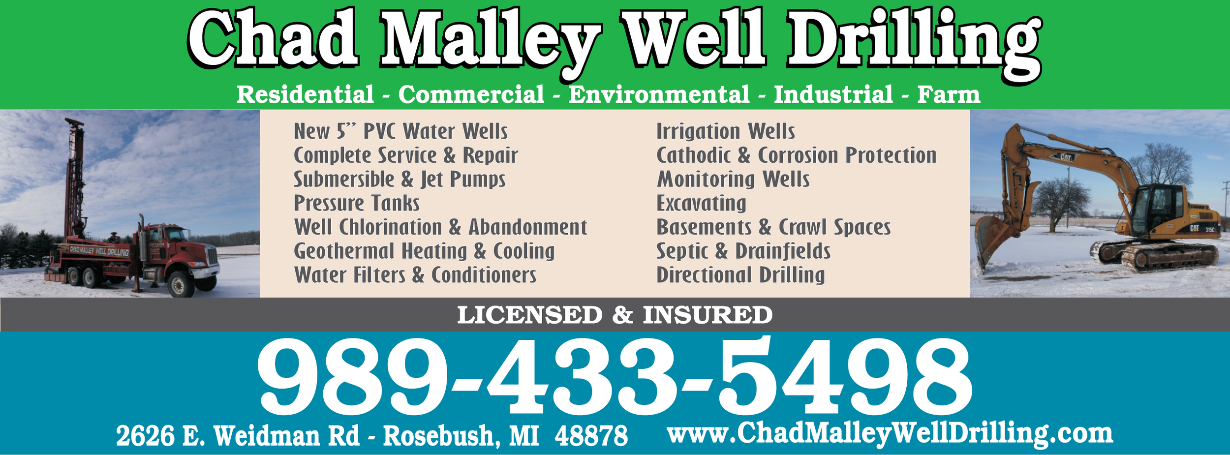
Chad Malley Well Drilling logo

Chad Malley Well Drilling

Active Driller
Rosebush, MI 48878
Well DrillingPump InstallationWell Maintenance+6 more

Moore Water Well Drilling LLC

Farwell, MI 48622
Well DrillingPump InstallationWell Maintenance
Reliable Water Well Service logo

Reliable Water Well Service

Howard City, MI 49329
Pump InstallationPump RepairSubmersible Pumps+12 more
Reliable Water Well Services LLC logo

Reliable Water Well Services LLC

Howard City, MI 49329
Well DrillingPump ServicesPump Installation+11 more

Sawade Drilling Co Inc

Active Driller
Mt Pleasant, MI 48858
Well Drilling
Trayer Water Wells logo

Trayer Water Wells

Active Driller
Vestaburg, MI 48891
Well DrillingPump InstallationPump Repair+3 more
Triple J's Well Service & Excavating logo

Triple J's Well Service & Excavating

2.6 (5)
Evart, MI 49631
Well DrillingPump InstallationPump Repair+2 more
Waldron Well Drilling Inc logo

Waldron Well Drilling Inc

Active Driller2.6 (5)
Evart, MI 49631
Well DrillingResidential Well DrillingCommercial Well Drilling+4 more
Bayes Water Treatment logo

Bayes Water Treatment

5.0 (5)
Sparta, MI 49345
Well DisinfectionWater TestingFiltration+2 more

Bob Wahlfield Drilling

Sparta, MI 49345
Residential Well DrillingCommercial Well DrillingPump Installation+3 more

Bogart Well Drilling LLC

Active Driller
Crystal, MI 48818
Well DrillingWell Maintenance
Contract Dewatering Services Inc. logo

Contract Dewatering Services Inc.

Saranac, MI 48881
Well DrillingWell MaintenanceSurging/Bailing+4 more

Crystal Clear Water Well Systems LLC

Active Driller
Crystal, MI 48818
Well DrillingWell Maintenance

Browse all of Michigan

See every licensed contractor across Michigan.

← All Michigan contractors

Well records near Mecosta

Check depths and logs of existing wells in the area before you drill.

Open well map →

Michigan well owner guide

Costs, permits, maintenance tips for private wells in Michigan.

Open guide →
View Local Geology Report

A geological estimate for the Mecosta area.

Typical Well Depth
45 ft
Static Water Level
22 ft
Recommended Method
Rotary - Mud Circulation

Detailed Summary

A representative geological profile for Mecosta wells consists, from ground surface downward, of a shallow upper sand (often mixed with some gravel or silt), underlain by one or more confining clay layers. At moderate depths (generally 20–50 ft), a medium-to-coarse sand or sand/gravel layer commonly serves as the principal aquifer and yields the best residential water supplies (5-15+ GPM). In some locations, deeper clay or alternating clay/gravel units are present, and select deeper wells may penetrate second or lower sand-rich aquifers, sometimes mixed with consolidated or ‘unknown water-bearing’ zones. The static water table typically lies between 6–34 ft below land surface. Average residential casing extends to near the base of the first major clay or confining layer, with screened intervals set through the most consistent sand or sand/gravel aquifer. Grouting of casing with bentonite slurry (typically from surface to base casing) is standard for protection against surface contamination.

Expected Geological Layers

Depth (Feet)Formation TypeDescriptionCharacteristics
06 ftSand/topsoil (occasionally sandstone)Brown to tan, fine to medium sand or sandy topsoil, locally some sandstone or silt.Color: Brown/tan
Hardness: Soft
620 ftClay (occasionally includes gravel or silt)Mostly brown or gray clay, locally silty or with fine gravel. Acts as a confining unit.Color: Brown/gray
Hardness: Firm-stiff
2040 ftSand and/or Sand & Gravel (Water-Bearing)Medium to coarse sand, often with varying amounts of gravel. Primary aquifer in most wells; typically water-bearing.Color: Tan/yellow/gray
Hardness: Medium (unconsolidated)
4055 ftClay (occasionally with gravel or silt)Gray or brown clay, sometimes with interbedded gravel. Acts as a lower confining or semi-confining unit.Color: Gray/brown
Hardness: Stiff
5590 ftSand & Gravel to Clay/Gravel Alternations (Deeper Aquifer)Alternating thick sand/gravel strata and clay; not present in all wells but present in deep wells (deeper than ~70 ft). Sometimes, 'unknown water-bearing' or consolidated intervals are logged here.Color: Tan/yellow/gray
Hardness: Medium to firm

Frequently Asked Questions

A typical residential well in the Mecosta area is drilled to approximately 45 feet to ensure a reliable water supply of 5-15+ gallons per minute.

The static water level, or water table, is typically found around 22 feet below the surface in this region.

A representative geological profile for Mecosta wells consists, from ground surface downward, of a shallow upper sand (often mixed with some gravel or silt), underlain by one or more confining clay layers. At moderate depths (generally 20–50 ft), a medium-to-coarse sand or sand/gravel layer commonly serves as the principal aquifer and yields the best residential water supplies (5-15+ GPM). In some locations, deeper clay or alternating clay/gravel units are present, and select deeper wells may penetrate second or lower sand-rich aquifers, sometimes mixed with consolidated or ‘unknown water-bearing’ zones. The static water table typically lies between 6–34 ft below land surface. Average residential casing extends to near the base of the first major clay or confining layer, with screened intervals set through the most consistent sand or sand/gravel aquifer. Grouting of casing with bentonite slurry (typically from surface to base casing) is standard for protection against surface contamination.